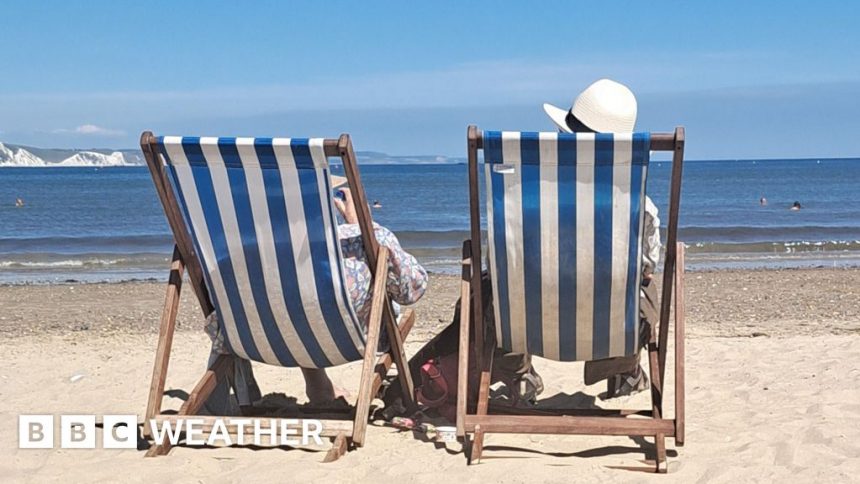
The weather is warming up – but will there be a heatwave?

-
Published
It is hard to deny that the meteorological summer got off to a faltering start.
But while the first two weeks of June brought below average temperatures, sunny spells this week have lifted things back towards normal, with the mercury rising into the low 20s Celsius.
Something even warmer is expected to develop into the start of next week.
But UK weather is rarely straightforward. There will be some cloud and rain at times and there is also uncertainty about how long the warmer spell might last.
What is changing?
Over recent weeks the jet stream has largely been to the south of the UK. This has acted like a barrier separating us from warm air and keeping us in the grip of something cooler.
At times we have even seen northerly winds bringing air all the way from the Arctic – with temperatures several degrees below normal and even some night-time frost.
But after a slightly messy weekend with weak frontal systems bringing areas of cloud and a few splashes of rain for some of us, into Monday and Tuesday the jet stream will wriggle northwards leaving warmer air in our midst.
Temperatures must reach a certain level on three consecutive days to meet the Met Office definition of a heatwave
Will it be a heatwave?
Current forecasts suggest that most of Scotland and Northern Ireland can expect temperatures in the low 20s during the first half of next week, with a few places peaking around 24C.
England and Wales will be warmer still, with mid-20s widely and some locations likely to see the mercury touching 27 or 28C.
While most places are unlikely to reach the official criteria for a heatwave, a few spots might. Yellow heat health alerts have been issued for some regions of England.
-
-
Published17 May 2023
-
-
-
Published31 May
-
The eventual temperatures will depend on several factors including how much sunshine there is. Areas of cloud are expected to drift through at times and there may even be one or two showers.
But it will be more humid than of late, and nights will also be warmer than we have been used to recently.
Will it last?
Computer weather models have been struggling with the detail of how quickly this warm spell might break down.
There had been signs that high pressure and warm winds might linger for some time. But over the last couple of days forecasts have shifted somewhat and it now seems likely that the weather will change during the second half of next week.
The jet stream is expected to dig southwards again allowing low pressure to move in, accompanied by outbreaks of rain, some of which could be heavy and thundery.
While it is unlikely to get as cool as it was earlier this month, temperatures are expected to fall closer to the seasonal norm.
The Sun sets over Glastonbury in 2023 but will this year’s festival-goers be as lucky?
On the face of it this could be bad news for events taking place over the last weekend of the month – including Glastonbury – with the balance of probability shifting from warm conditions to wet ones.
But long-range forecasts can be fickle so before you panic about a mud bath and go searching for the wellies, it is worth keeping up to date with BBC Weather online and via the app.
And if your sights are already set further ahead, into July, you can always take a look at our monthly outlook.
-
-
Published1 day ago
-


