UK heatwave: Will it last?

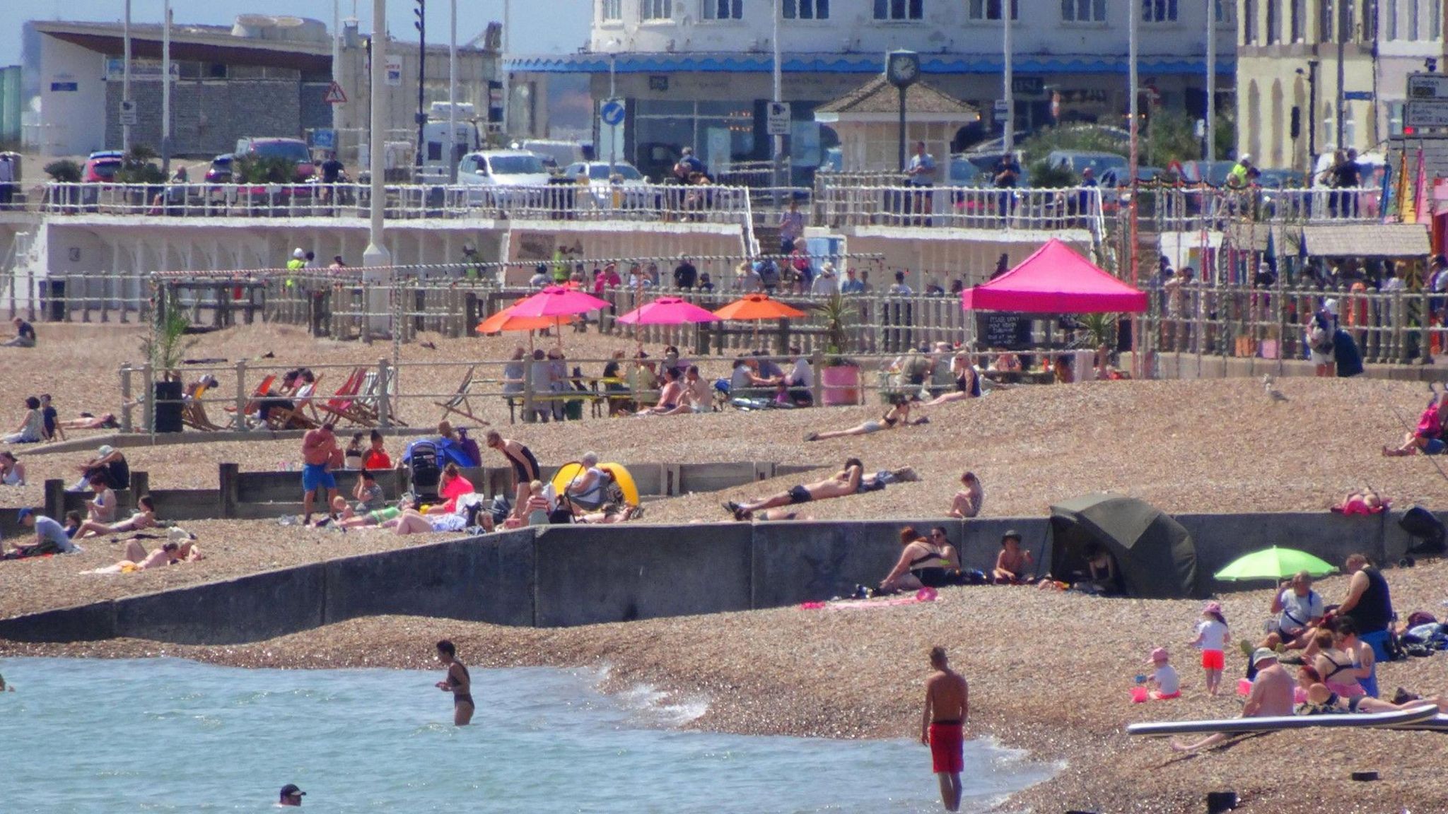
It was beach weather in Hastings, East Sussex on Tuesday
-
Published
Tuesday was the UK’s hottest day of 2024 so far, with a temperature of 30.0C recorded at Chertsey in Surrey – the first time 30C has been reached since 10 September 2023.
At Usk in Monmouthshire the thermometer climbed to 27.3C meaning this week has now brought all four nations their warmest weather of the year to date.
Yellow heat-health warnings remain in force across large parts of England with the chance that some places may officially meet heatwave criteria.
But cooler and cloudier conditions have already arrived in Northern Ireland and Scotland and these are due to spread to all parts of the country over the next few days.
Where has the warmth come from?
For the first half of June the jet stream tracked southwards leaving the UK in unseasonably cool air, with temperatures a couple of degrees below the seasonal norm.
But in the last few days the jet stream has shifted to the north of us allowing warm and humid conditions to surge across our shores. That has lifted temperatures above the June average by day and night.
High pressure has dominated keeping things dry for many with strong sunshine. Some south-eastern parts of England are likely to reach heatwave criteria as the warmth continues through the middle of the week.
The Met Office defines a heatwave as three consecutive days with temperatures above a certain threshold
-
-
Published17 May 2023
-
-
-
Published3 May 2022
-
A change on the horizon
In Northern Ireland and Scotland things have already started to change.
On Monday at 15:00 Aboyne in Aberdeenshire had a temperature of 26.7C. At the same time on Tuesday, the thermometer read just 12.5C with overcast skies and spots of rain.
And while the change won’t necessarily be quite that dramatic everywhere, cooler weather is expected to arrive in time for the weekend.
An area of low pressure will pass to the north of Scotland during Thursday and Friday, bringing a cold front eastwards across the UK. This will sweep the warm and humid air away towards continental Europe leaving us with cooler winds from the Atlantic.
Does this mean a washout Glastonbury?
Festival-goers need not despair.
Many places – including Glastonbury – can expect largely dry conditions this weekend, albeit with lower temperatures.
A few showers are possible but when the sun shines it will still be strong, so perhaps it might be worth leaving the wellies at home and packing the sunscreen instead.
Daytime highs will reach around 20C with overnight lows dropping to 10 or 11C which should be quite comfortable for anyone sleeping under canvas.
Glastonbury Festival-goers might need to seek shade – just as they did in 2023
Elsewhere across the UK there will be a lot of dry weather over the weekend with the best of the sunshine likely in southern England and south-east Wales.
A little rain is expected, most notably in northern England, Northern Ireland and Scotland – but it will be far from a washout.
If you are making plans for the weekend you can always keep up to speed with the forecast with BBC Weather online or on the app.
Will the heat return?
At the moment there are no strong signals from computer weather models of any widespread heat returning in the next couple of weeks.
Mixed weather is likely with some rain, especially in the north of the UK where it may also be rather windy. Further south high pressure is likely to have more of an influence so some lengthy dry spells are likely. And at this time of year it will always feel warm in any sunshine.
There are still more than two months of summer ahead of us though – meaning plenty of opportunity for warmth to return.
-
-
Published4 days ago
-


