


UK weather: Arctic air will give way to a warmer weekend

-
Published
The last few days might have felt like a shock to the system weather-wise.
A feed of Arctic air has brought below-average temperatures by day and by night with heavy showers blowing across the UK – and even a dusting of snow over the highest mountains in northern Scotland.
But our weather can be fickle and, sure enough, another change is on the way.
Over the weekend temperatures in some places could climb back above 20C.
How cold has it been?
Typical daytime temperatures in mid-September range from 14C in northern Scotland to 19C in south-east England.
But during Wednesday and Thursday we have been recording values two or three degrees lower than that.
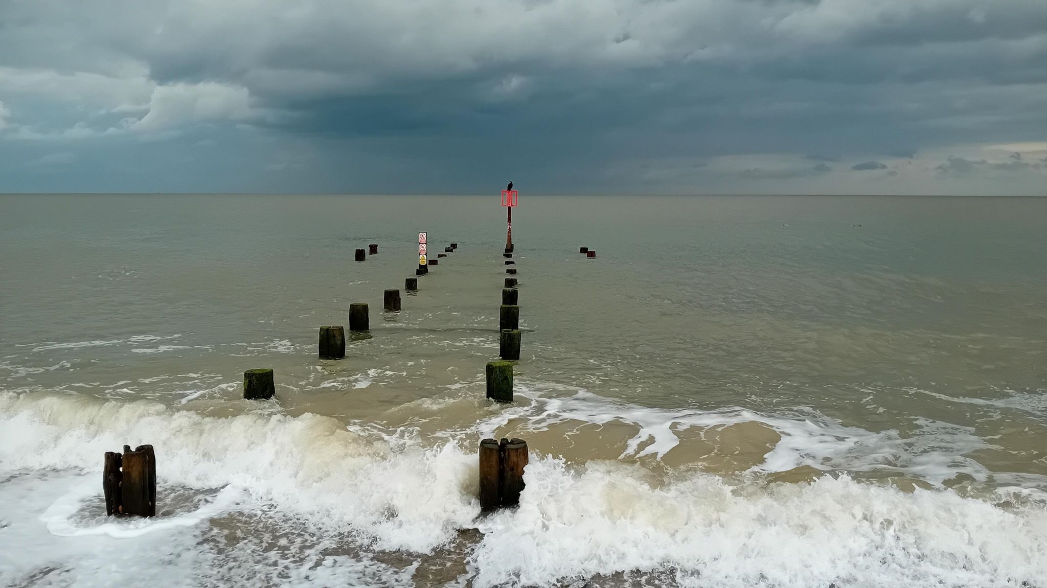
Some mountain tops in Scotland have seen a dusting of snow – not unusual during the meteorological autumn – but for the vast majority it has been a mixed story of sunny spells and heavy, thundery downpours.

Most places have been far too mild for snow – but hail has featured in the showers
The nights have also been chilly with some places seeing their first ground frosts of the season.
As winds fall lighter overnight it is even possible that Friday morning could start with an air frost – where temperatures drop below freezing.
While a frost this early in the season in Scotland is not unusual, in the other nations of the UK it is a different story. In England it would represent the earliest air frost in five years, and in Northern Ireland the earliest in six.
If a weather station in Wales drops below 0C it will be the earliest air frost since 1996.
A change on the way
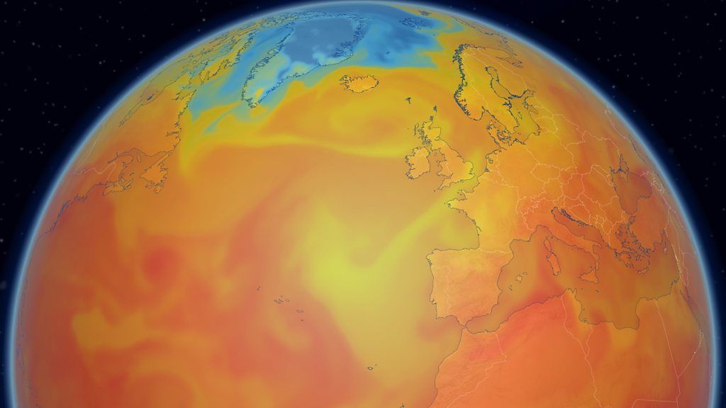
The feel of the weather depends largely upon where the air has come from.
And over the last few days the source of the air has been the Arctic, with cold north-westerly winds feeding southwards across the country. The strength of those winds has only exacerbated the chilly feel.
But before you consign the warm weather clothes to the back of the wardrobe for good, it might just be worth checking the forecast. A shift in weather patterns is about to switch the wind direction again and bring us something warmer.

Cold north-westerly winds will be replaced by warmer south-westerlies
South-westerly winds will bring air from a warmer source over the weekend with temperatures climbing to – or perhaps slightly above – the seasonal norm. Highs of 14 to 20C are expected across the country and the nights will become milder too.
It will not be completely dry though. A frontal system will bring cloud and some outbreaks of rain, especially towards the north and west of the UK although very little rain is likely in the south-east of England.
Further ahead
Early next week high pressure is set to build more strongly and temperatures could climb even further – widely reaching 19 or 20C across Scotland, Northern Ireland and Wales. Some parts of England could even see the mercury touching 23 or 24C by Wednesday.
This would mark a big change in the feel of the weather.
And – while computer model output can change – at the moment there is no strong signal that widespread cold northerly winds will return before the end of the month.
You can always keep up to date with the forecast details for your area online and on the BBC Weather app.
-
-
Published1 day ago
-
-
-
Published16 September 2019
-
-
-
Published2 September

-