Record storm surge forecast in Florida from Hurricane Milton

-
Published
Major Hurricane Milton is due to make landfall late on Wednesday night near Tampa Bay, Florida.
As well as hurricane-force winds and flooding rain, there will be a significant storm surge – one of the deadliest consequences of a hurricane.
The US National Hurricane Center is warning that Hurricane Milton could bring a record storm surge of 10-15ft (3-5m) around the Tampa Bay area and south to Boca Grande.
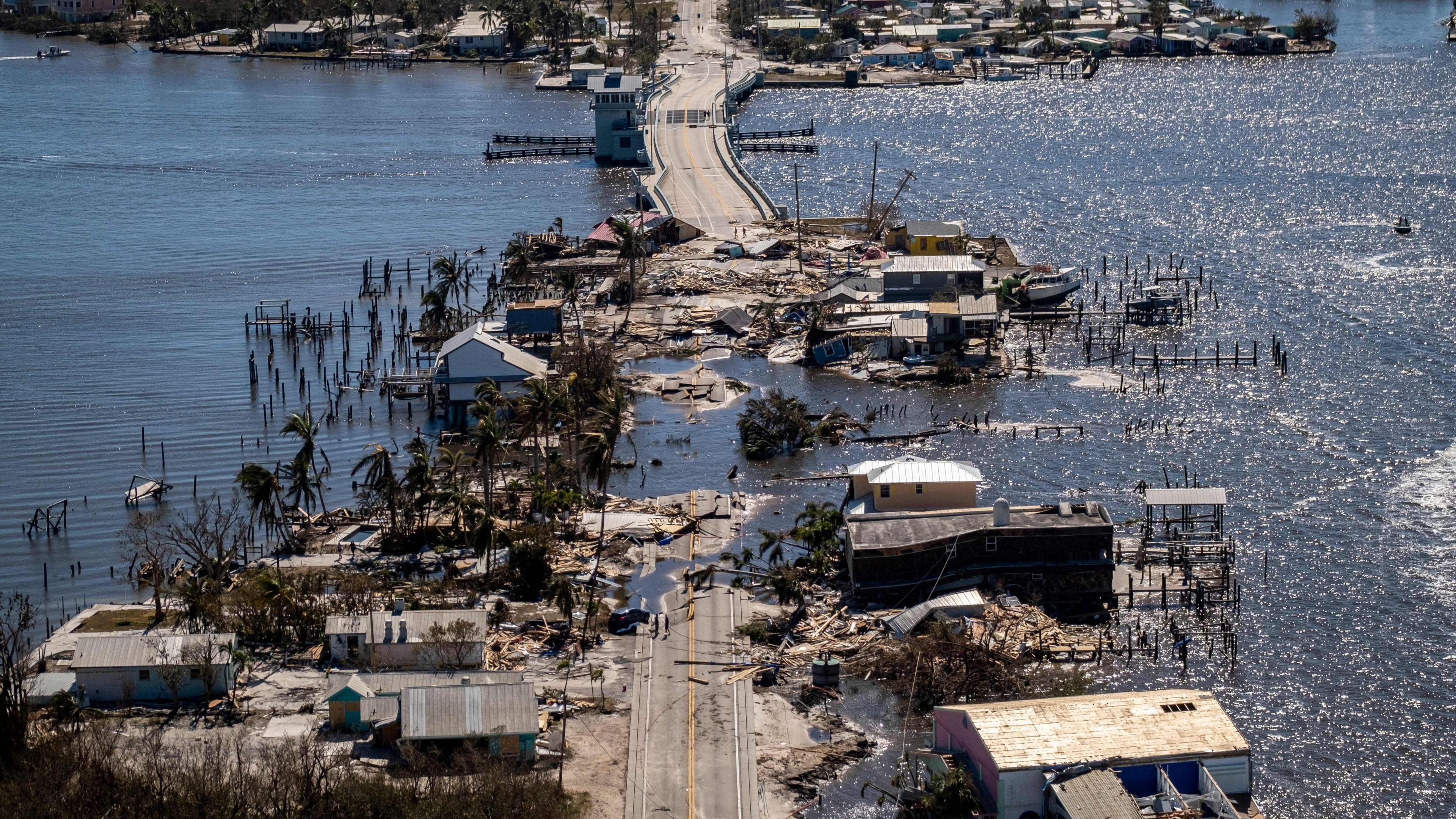
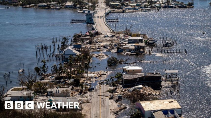
This comes only two weeks after Hurricane Helene brought a record storm surge of 7.8ft (2.4m) to Tampa Bay with extensive damage.
Helene – the deadliest US storm since Katrina in 2005 – killed at least 225 people and caused billions of dollars’ worth of damage.
In the hours leading up to Milton’s landfall, meteorologists will be monitoring the exact track as differences of 20-50 miles (30-50km) north or south will dictate where the most extreme storm surge is likely to happen.
Why does a storm surge happen?
Storm intensity, forward speed, size and angle of approach all play a part in making a storm surge happen, as does the shape of a coast
A storm surge is an abnormal rise in sea level caused by a storm.
Tropical cyclones such as hurricanes do not just bring strong winds and heavy rain. Often it is the storm surge that produces the most damage and threat to life through extensive coastal flooding.
Tropical cyclones form at sea fuelled by warm water. Strong winds develop as air begins to circulate. Water is pushed in the direction in which the winds are blowing, causing the water levels to rise.
This is not particularly noticeable in deep sea but as the ocean floor becomes shallower close to land, the wall of water has to rise and is driven onshore by strong winds.
Storm surges are worse at high tide and other factors contribute to the water level too, such as the direction of approach, size and speed of the storm, central pressure and topography of the coastline.
For Hurricane Milton, as it approaches land from the west, it will be the southern side of the eye where the largest storm surge will be.
The hurricane-force westerly winds will be pushing water inland.
To the north of the eye, easterly winds will temporarily push water away from the coast
From Tampa Bay to Boca Grande, up to 15ft (4.5m) of coastal inundation is expected but should the track come a little further south, the most extreme surge scenario for Tampa Bay might be avoided.
Regardless, the storm surge is still likely to be catastrophic and exceed the record 7.8ft (2.4m) height seen during Hurricane Helene.
Is a storm surge the same as a tsunami?
In a word, no, but they can be equally destructive to coastal areas.
A tsunami is caused by seismic activity or movement under the sea such as an earthquake. This results in a series of waves rather than a pile of water driven by strong winds.
Storm surges are caused by bad weather and are generally easier to forecast, so they tend to result in fewer casualties.
-
-
Published1 October
-
-
-
Published7 hours ago
-
-
-
Published9 hours ago
-
What was the highest ever storm surge?
The highest recorded storm surge in history, according to Penn State University, was more than 40ft (12m). It was caused by Cyclone Mahina in northern Australia in 1899.
The deadliest occurred in 1970 in Bangladesh, originating in the Indian Ocean, at 34ft (10.3m).
Perhaps the most famous of recent times though is the 27ft (8.2m) storm surge from Hurricane Katrina along the Gulf of Mexico coastline, which penetrated six miles (10km) inland.
Does the UK get storm surges?
The Thames Barrier was designed to protect London from flooding until 2030
While nowhere near tropical water, the UK can see storm surges too and low-lying areas of the east coast are particularly vulnerable.
On 31 January 1953, a storm in the North Sea combined with high spring tides resulting in a huge storm surge and extensive flooding. It was one of the worst peace time disasters to ever strike the UK, becoming known as the Great North Sea Flood. Some 2,500 people died on the surrounding coastlines or out at sea, including 307 in East Anglia and 19 in Scotland.
Huge tidal variations in UK waters mean potential flooding and surges can often be very dependent on the exact timing of storms.
The Thames Barrier – opened in 1984 – was built following the Waverley Committee’s investigation into the 1953 storm, and more money was invested in flood defences and early warning systems.
Does climate change mean we will see more storm surges in future?
As our climate changes and becomes steadily hotter we can expect to see rising sea levels from ice melt and more powerful tropical cyclones fuelled by higher sea surface temperatures.
The Intergovernmental Panel on Climate Change, the UN body for assessing the science related to climate change , says that it is likely that more storms will reach Category 3 or above, external, bringing higher wind speeds.
Storms with higher wind speeds result in more intense storm surges which, coupled with heavier rainfall, will mean coastal communities across the world will have to become increasingly resilient to severe flooding.


