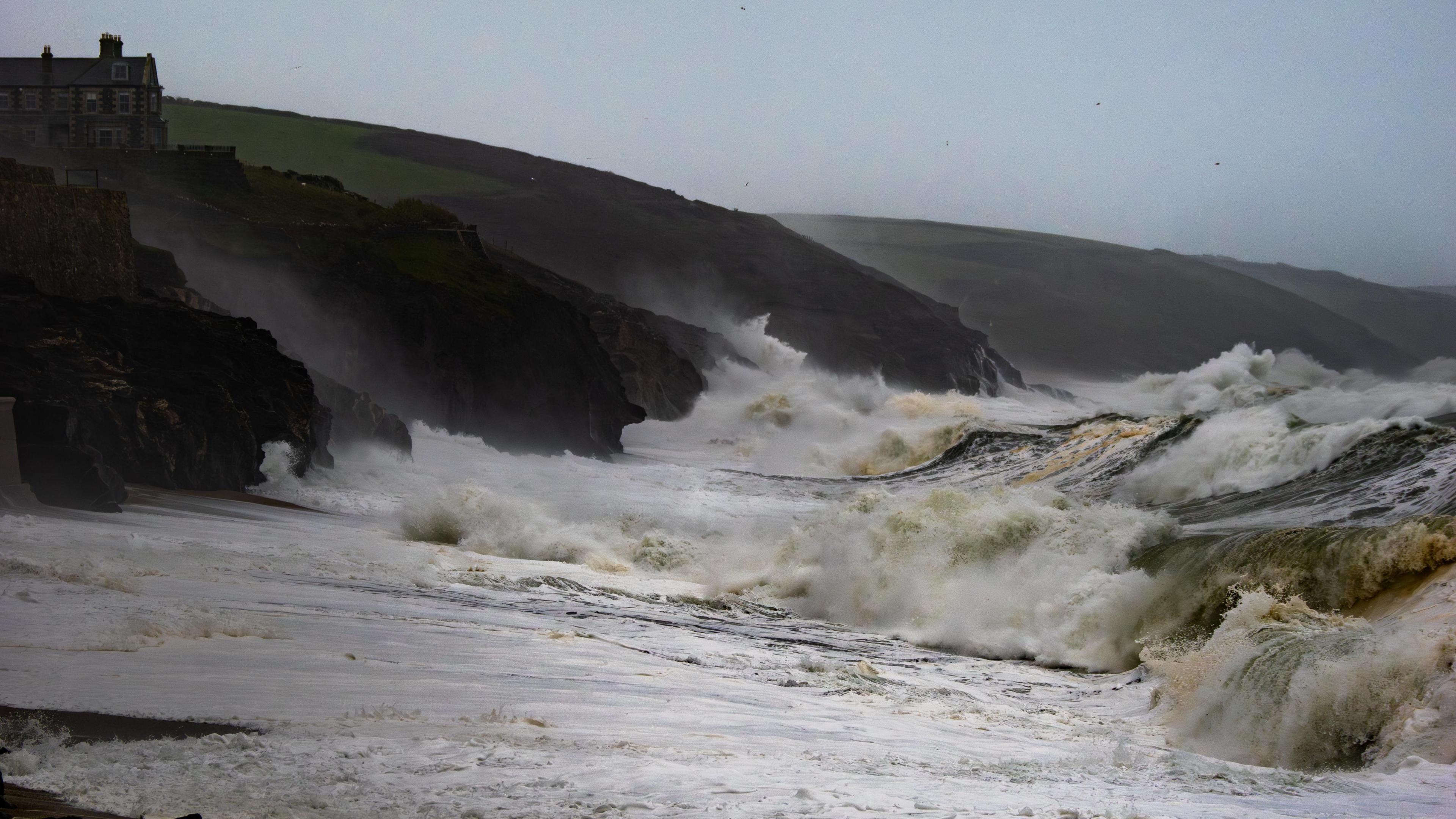
Heavy rain and gales set to hit UK as weather warnings issued

-
Published
A series of powerful low pressure systems is heading towards the UK prompting the Met Office to issue multiple yellow weather warnings.
Wind gusts of up to 80mph (129km/h) are possible over the next few days with the threat of large waves, power cuts and flying debris.
Heavy rain will also bring the risk of flooding and travel disruption – including in areas still recovering from the impacts of Storm Bert.
It is all being driven by a very fast jet stream high in the atmosphere.
Which areas are covered by warnings?
A yellow warning for wind covers parts of north-west Scotland during Wednesday night and Thursday morning. Widespread gusts of 50-60mph (80-97km/h) are expected, with 75mph (121km/h) possible in exposed places.
Three separate yellow weather warnings have been issued by the Met Office
Another yellow wind warning comes into force at 15:00 GMT on Thursday in south-west Scotland, Northern Ireland, Wales, northern England, the Midlands and East Anglia.
It is valid until 06:00 GMT on Friday and warns that gusts of 40-50mph (64-80km/h) are likely in inland areas. Coastal spots could see gusts of 70mph (113km/h) with the risk of disruption to travel, including ferry services.
A third yellow warning – for rain and wind – covers almost all of England and Wales from Friday afternoon until Sunday morning.
Up to 25mm (1in) of rain may fall quite widely but high ground in the west may see 50-70mm (2-3in), including in parts of Wales that were badly affected by Storm Bert less than two weeks ago.
Rainfall from Storm Bert caused flooding last month in Pontypridd, Rhondda Cynon Taf
Gales are also expected with gusts of 60mph (97km/h) possible inland and up to 80mph (129km/h) on some coasts. Difficult driving conditions and delays to public transport are likely.
Some snow may also fall over hills in the north of the warning area.
A powerful jet stream
Three separate areas of low pressure are being propelled towards the UK by the jet stream – the flow of winds high in the atmosphere.
Speeds in its core are forecast to exceed 240mph (386km/h), partly driven by a plunge of cold air that has swept across Canada and the northern USA.
That powerful jet stream will help to deepen and energise the low pressure systems travelling across the Atlantic, enhancing the strong winds and heavy rain.
Will there be a named storm?
It is possible – but by no means certain – that the low pressure system crossing the UK on Friday and Saturday could be named.
Whether it is will depend on how bad its impacts are expected to be as the forecast firms up over the next couple of days.
The next name on the list drawn up by the UK Met Office, Ireland’s Met Éireann and the Netherlands’ KNMI is Darragh. But it is equally possible that the weather service of another country – perhaps France or Belgium – could name the storm instead, meaning it would take a name from its list.
Whether the storm is named or not, you can keep track of the forecast where you are on the BBC Weather website or app.
-
-
Published8 hours ago
-
-
-
Published17 October
-
-
-
Published21 November
-


