


What are the chances of a white Christmas?

-
Published
As we edge closer to the big day itself, you might be dreaming of a white Christmas, but what are the chances of actually seeing one in the UK this year?
Longer-range weather forecast models are starting to agree on likely themes for the festive forecast. And it’s beginning to look a lot like…it is going to be unsettled for most of the country.
At this stage, parts of Scotland have the highest chance of a white Christmas, but it is still too early to know for sure.
In general, the weather is expected to remain rather changeable with wet and fairly windy, if not stormy, conditions. However, colder spells are likely, as the winds turn more north-westerly, which has the potential to bring some sleet or snow, especially over the hills in Scotland.
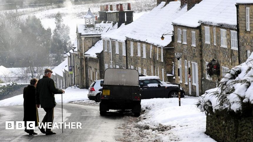
Climatologically speaking, the chances of a white Christmas vary hugely across the country, with generally a higher likelihood the further north and the higher above sea level you go.
So the places that see the most “white Christmas Days” are northern and eastern Scotland, northern England, north Wales and the north-west Midlands.

It was a white Christmas in 2010 for the Brecon Beacons in south Wales
What is a white Christmas?
The official Met Office definition of a white Christmas is for one snowflake to be observed falling in the 24 hours of 25 December somewhere in the UK.
This happens on more than half of Christmas Days, so it is more likely than not that we will get a white Christmas somewhere.
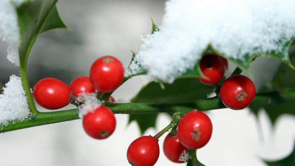
However, the idyllic “Christmas card scene” of more widespread lying snow is much rarer.
This has only happened four times since 1960, most recently during the very snowy December of 2010 when more than 80% of weather stations reported snow lying on the ground on Christmas Day.
When will we know with more certainty if it is going to snow this Christmas?
Forecasting snow accurately is notoriously difficult in the UK.
Weather forecasters take into consideration lots of variables such as where the air is expected to be coming from – for example, an Arctic air mass is most likely to bring us snow – as well as the intensity of any rainfall approaching that may turn to snow if temperatures are low enough.
Weather supercomputers use several models to generate forecast data using slightly different variables. This can give us an idea of whether snow is a likely scenario around 10 days in advance. Then forecasters use their skill and experience to firm up on details with about five days to go.
You will need to keep an eye on our forecasts on BBC TV, radio, website and app for the latest updates.
-
-
Published19 hours ago
-
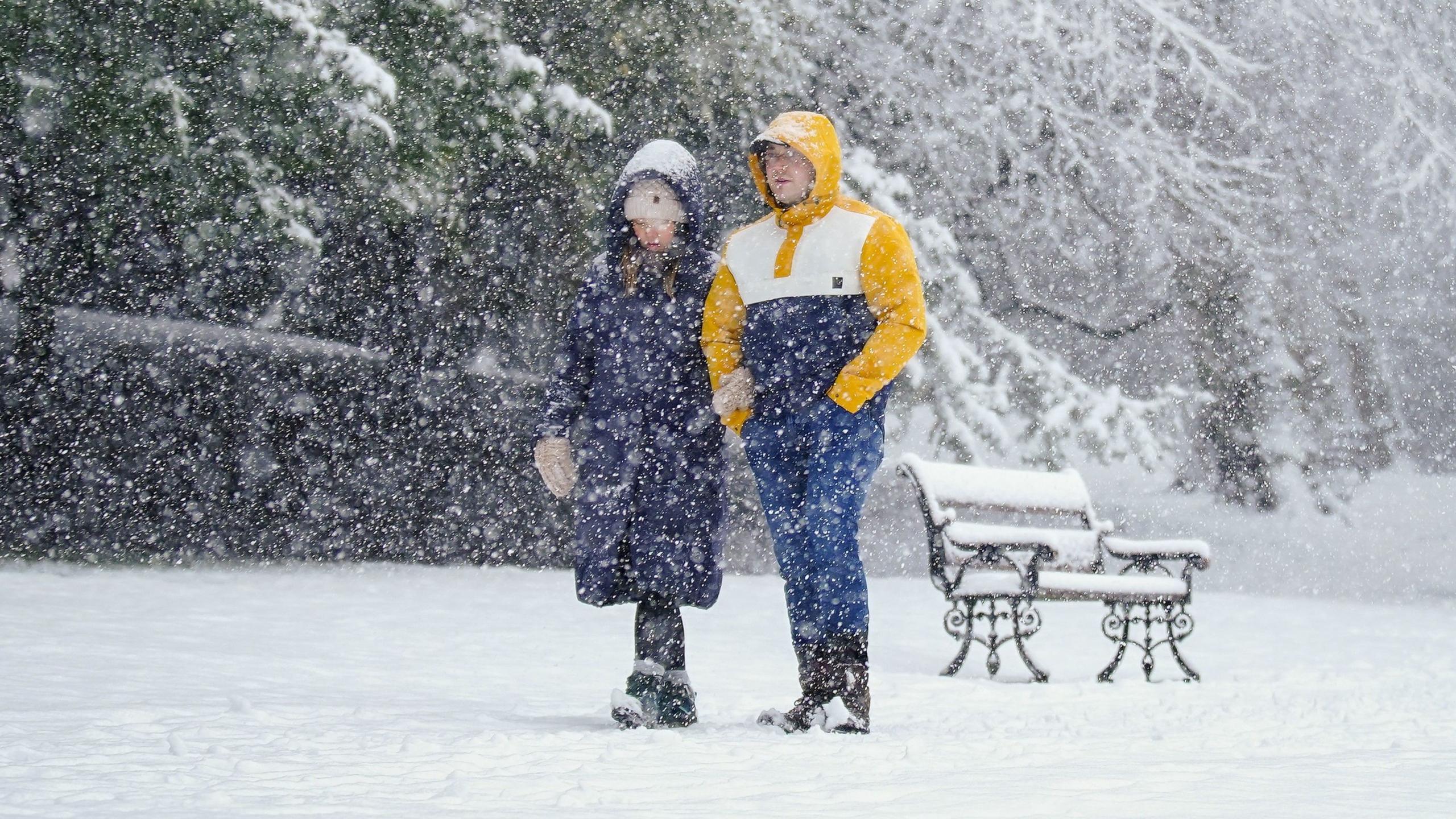
Is the chance of a white Christmas dropping as the climate warms?
We might expect that as average temperatures rise, there would be an associated fall in the likelihood of a white Christmas, and for much of Europe, this is indeed the case. But actually in the UK, the picture is very mixed.
A Helsinki University study looked at the probability of lying snow on Christmas Eve across Europe. Meteorologist Daan Van Den Broek found that in the UK, some places have actually seen an increase in the likelihood of festive snowfall.
In southern and eastern England, the likelihood increased by 10% for the period 1991 to 2020 as compared to the previous 30 years, while in the Scottish Highlands the chance of Christmas snow has decreased by 30% in the same period.
-
-
Published16 December 2023
-
-
-
Published1 day ago
-