


Weather warnings issued for wind and rain this weekend

-
Published
Our weather may have had more of a feel of spring about it over the last few days, but wind and rain has still featured for some.
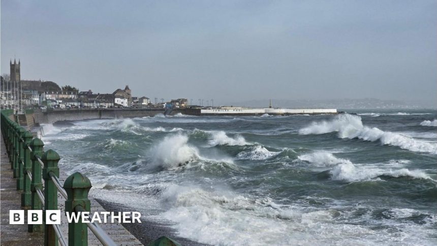
On Friday, while the likes of Hull, Thetford and Nairn hit 17 Celsius (63F) many western areas were lashed with gales and rain at times.
The Met Office are now warning of more strong winds and heavy rain on Sunday, following a a sunny start to the weekend for many.
Met Office warnings for Sunday

Yellow warnings for wind have been issued across most of the UK, with rain warnings on some western hills
While many areas will start the day dry, the weather is expected to deteriorate quickly from the west.
The Met Office has issued severe weather warnings for wind and rain in anticipation of the weather’s impact.
A yellow warning for wind will come into force across Northern Ireland from 03:00 to 15:00 GMT with gusts of 50-60mph (80-96km/h) expected.
For a larger area across Scotland and England, a yellow warning will be valid from 06:00 to 18:00 GMT, with gusts of up to 70mph (113km/h) possible in more exposed locations.
The strong winds may cause some disruption throughout the day.
According to the Met Office delays to road, rail, air and ferry transport are likely. Power cuts are also possible too.

Heavy rain on western hills could lead to flooding
Heavy rain is also expected to have an impact too.
The Met Office has issued yellow warnings for rain on the hills of south-west Scotland from 07:00 to 15:00 GMT, the Lake District between 10:00 and 19:00 GMT and on the higher ground of southern Wales and southwest England, from 12:00 to 23:59 GMT.
20 to 50mm of rain (0.8 to 2in) could fall during the course of the warning, with up to 90mm (3.5in) possible on south-facing hills. This may lead to localised flooding, travel and power impacts.
Rain and gusty winds will not arrive in the south-east of the UK until the evening before clearing through Sunday night.

It has felt like spring for some over the past few days, with temperatures hitting 17 Celsius (63F) in eastern parts of the UK
Why has it turned wet and windy again?
The weather for much of the month so far has been dominated by an area of high pressure stuck over central and northern Europe.
This prevented rain-bearing Atlantic weather systems from reaching us and was also responsible for the continuous influx of cold air from the east, which kept daytime temperatures below normal for this time of year.
However, recently we have seen another surge of frigid arctic air across Canada and the US which has helped fire up a strong jet stream across the Atlantic.
This has helped to the development and movement of deep areas of low pressure near our shores, bringing wind and rain.
While the jet stream will weaken next week, we will still see our weather come in from the Atlantic, rather than from Europe.
This will lead to fairly changeable conditions and temperatures closer to the seasonal average of 7 to 10 Celsius (45 to 50F). On the clearer nights we will also see the return of a frost in places.
-
-
Published21 hours ago

-