UK snow risk as Arctic air sweeps in

-
Published
Much colder weather is set to arrive across the UK next week, bringing widespread frosts, plunging temperatures and for some areas, snow.
The weather will start to cool down on Saturday as a cold front pushes southwards, with the air turning progressively colder into next week as an Arctic air mass becomes established.
This change in weather fortunes comes about thanks to a blocking area of high pressure building across Greenland with cold Arctic air emptying out across the UK and bitter northerly winds developing.
The fact that this pattern established itself in late November means we are in for some cold weather for the time of year but temperatures would have been much lower had this system set up in the heart of winter when the Arctic is far colder.
Will it snow?
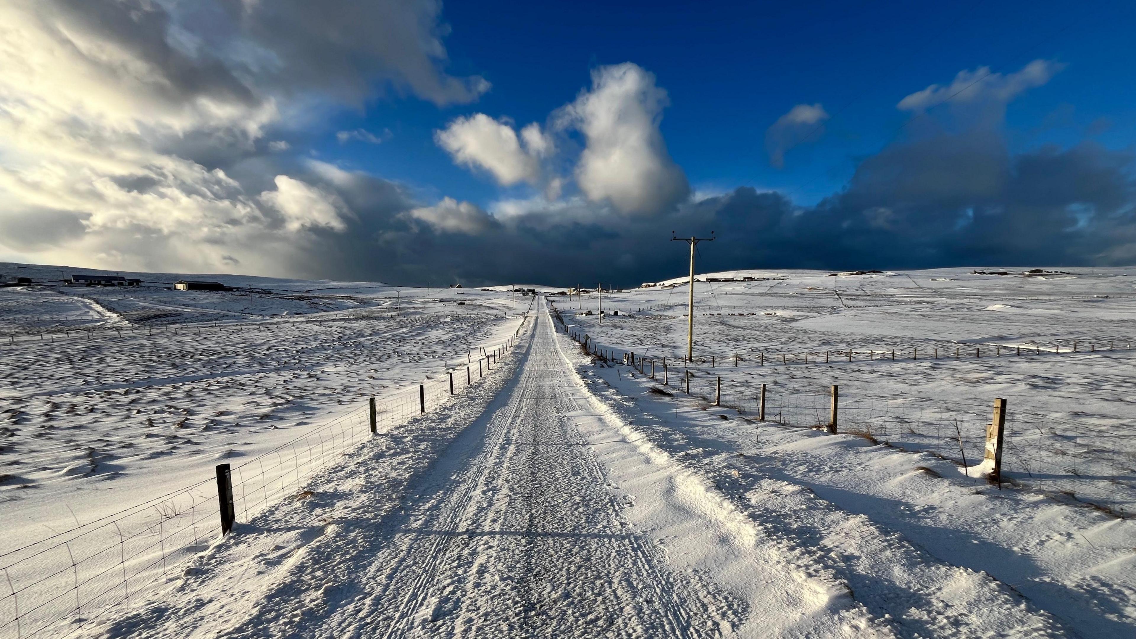
Northerly winds will bring frequent showers to northern Scotland, probably falling as sleet and rain near to coastal areas. The hills of northern Scotland will see regular snow showers with the potential for some localised disruption where it settles.
The ground in November is not as cold as it would be in midwinter so some of the snow hitting the roads will probably melt, though larger accumulations could gather on colder grassy surfaces.
Many inland areas of the UK are likely to see quite a lot of dry weather with morning frosts and sunny skies.
Showers will be frequent in Northern Ireland along with coastal areas of England and Wales – these will probably be mixed with some rain, sleet and hail.
Milder air is set to return before the start of winter
Most weather computer models develop an area of low pressure on Monday night and Tuesday that moves south-east across Northern Ireland, England and Wales.
This would bring wet and windy weather on the south side of the low pressure. However, there may be some heavy snow in the colder air on the north side of the system, especially over high ground.
Any snow would therefore depend greatly on the precise track of the low pressure, the heaviness of the precipitation and the elevation of the land.
All of these factors make forecasting this zone of potentially disruptive snow very tricky – and this uncertainty is likely to stay in weather forecasts until the day before any snow is due to hit.
-
-
Published2 December 2020
-
-
-
Published2 days ago
-
When will the cold spell end?
There is a small chance that a second low pressure towards the end of next week could bring some snow to the south of the UK. It is very uncertain this far ahead but is something we will be monitoring closely over the next week.
The cold spell looks set to last for about a week for many, before milder Atlantic air returns in time for the start of winter.
Read our thoughts on the forecast further ahead with our monthly outlook.


