Where you could see a white Christmas as UK snow chances dwindle for many

-
Published
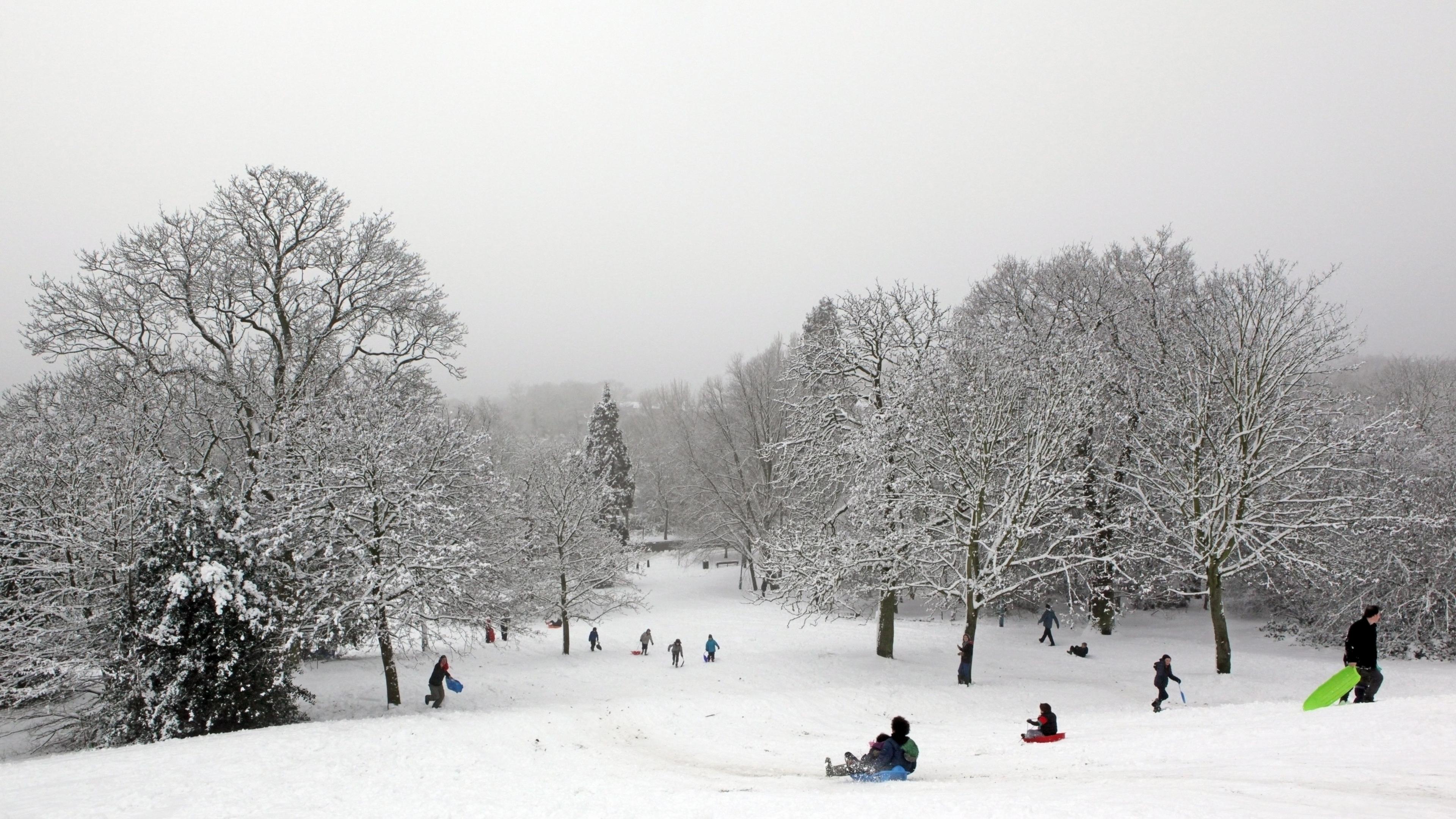
With the big day just a week away, are you dreaming of a white Christmas? It will come as no surprise that Santa will not be sledging through inches of the white stuff here in the UK.
Longer-range weather forecast models are starting to agree on a relatively mild picture. There will be spells of wet weather across the north of the UK while the south stays under the influence of high pressure and drier conditions.
Should any snow fall, the Scottish highlands have the highest chance of a fresh covering, which is not unusual at this time of year.
In general, the weather is expected to remain changeable in the run up to the New Year with wet and windy and possibly stormy conditions especially in the north. However, colder spells are possible as winds occasionally turn more north-westerly over Scotland towards the end of the year.
Climatologically speaking, the chances of a white Christmas vary hugely across the country in December, with snow more likely at Easter.
A snow-covered field in Llangywer, Gwynedd in Wales in November 2024 with a light dusting over trees under a cloudy sky
What is a white Christmas?
The official Met Office definition of a white Christmas is for one snowflake to be observed falling in the 24 hours of 25 December somewhere in the UK.
This happens on more than half of Christmas Days, so it is more likely than not that we will technically get a white Christmas somewhere.
However, the idyllic Christmas card scene of more widespread lying snow is much rarer.
This has only happened four times since 1960, most recently during the very snowy December of 2010 when more than 80% of weather stations reported snow lying on the ground on Christmas Day.
Why is it so hard to forecast snow in the UK?
Forecasting snow accurately is notoriously difficult in the UK because we are an island nation usually influenced by mild Atlantic air. During colder winter weather a marginal change in temperature can be the difference between us having rain or snow. An additional difficulty in forecasting snow is the UK’s varied terrain. Even small changes in elevation across an area or city can have a large bearing on where snow will settle.
In contrast some countries across Europe are more prone to cold blasts of air which are less influenced by the ocean. This means snow is more likely as the differences in temperature are less marginal.
Weather supercomputers use several models to generate forecast data using slightly different variables. This can give us an idea of whether snow is a likely scenario around 10 days in advance. Then forecasters use their skill and experience to firm up on details with about five days to go.
You will need to keep an eye on our forecasts on BBC TV, radio, website and app for the latest updates.
BBC Weather monthly outlook
-
-
Published1 hour ago
-
Is the chance of a white Christmas dropping as the climate warms?
We might expect that as average temperatures rise, there would be an associated fall in the likelihood of a white Christmas, and for much of Europe, this is indeed the case. But actually in the UK, the picture is very mixed.
A Helsinki University study looked at the probability of lying snow on Christmas Eve across Europe. Meteorologist Daan Van Den Broek found that in the UK, some places have actually seen an increase in the likelihood of festive snowfall.
In southern and eastern England, the likelihood increased by 10% for the period 1991 to 2020 as compared to the previous 30 years, while in the Scottish Highlands the chance of Christmas snow has decreased by 30% in the same period.
-
-
Published16 December 2023
-
-
-
Published26 November 2023
-


