Wind warning issued as stormy weather threatens to hit UK

-
Published
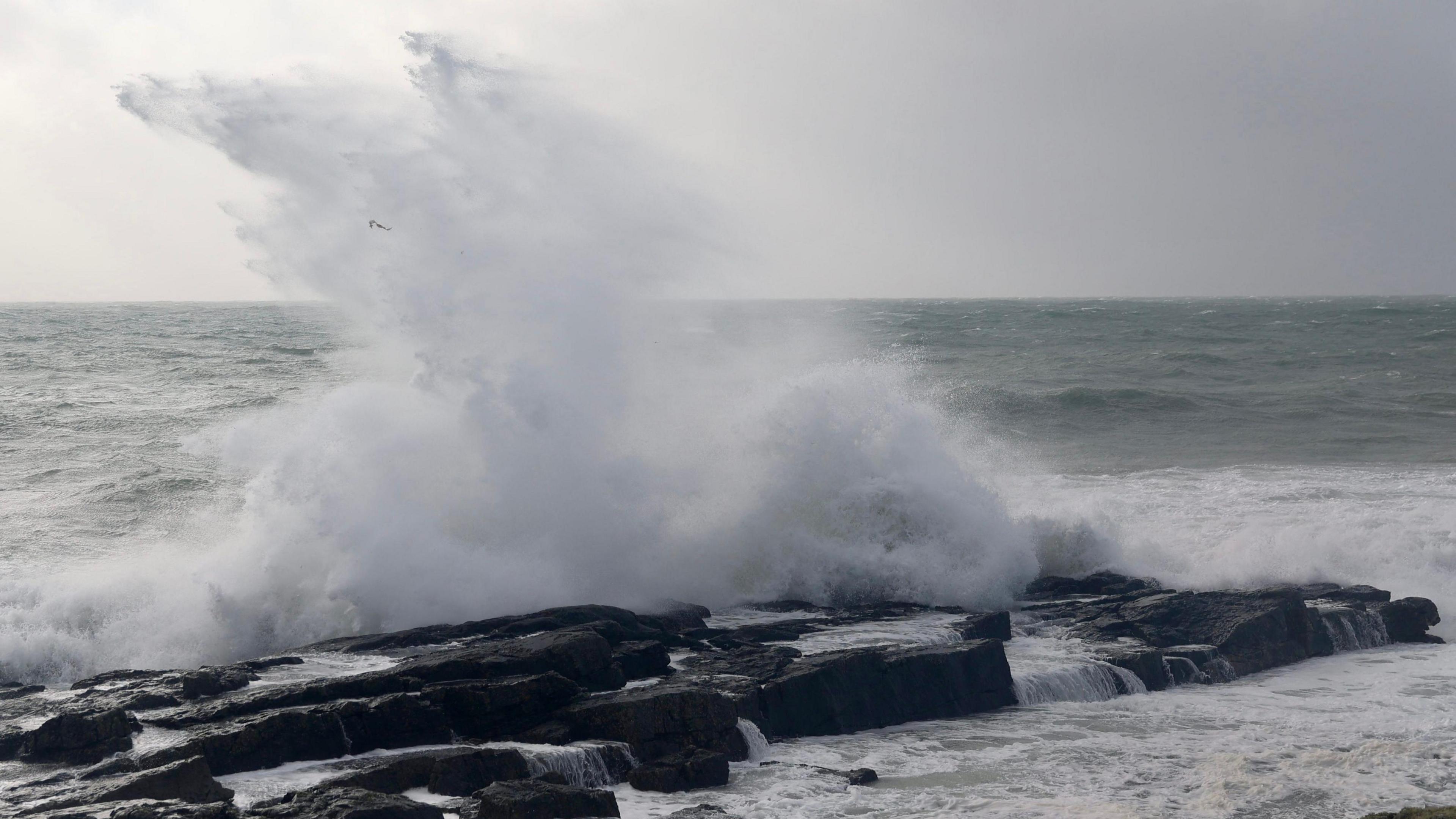
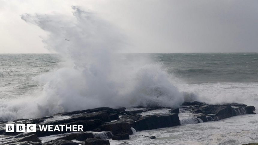
A powerful Atlantic jet stream will bring the threat of gales to parts of the UK later this week.
The Met Office has already issued a yellow warning for wind on Friday and Saturday covering northern and western Scotland as well as Northern Ireland.
Gusts of up to 80mph (129km/h) – or possibly even more – could bring localised damage, power cuts and travel disruption. Heavy rain and hill snow are also expected.
It will mark a big change from the quiet and rather cold weather that has dominated over the last week or so.
A supercharged jet stream
Over recent days the jet stream close to the UK has been fairly weak and diffuse in nature. This has allowed high pressure to linger close by, keeping any powerful weather systems away from our shores.
But events on the other side of the Atlantic mean that is now changing.
Frigid Arctic air is surging southwards across North America bringing life-threatening wind chills, snow as far south as Texas and Louisiana and causing Donald Trump’s inauguration as US President to be moved indoors – the first time that has happened since 1985.
The jet stream will be exceptionally powerful this week thanks to a cold plunge in the US and Canada
The contrast between this extremely cold air mass and much milder air further south is going to “supercharge” the jet stream. The winds in the core of the jet are forecast to exceed 260mph (418km/h) above the Atlantic.
This huge injection of energy high up in the atmosphere will cause an area of low pressure to deepen rapidly as it heads towards the UK and it is this that brings the threat of gales and disruption on Friday and Saturday.
At this range, several days in advance, there is some uncertainty about exactly how strong the winds will be and exactly where the strongest gusts will occur. At the moment the north-west of the UK looks most at risk – hence the Met Office yellow warning that covers this area.
Outbreaks of rain are also expected and while it will turn milder for some – especially in the south – it will remain cold enough for snow to fall over hills in Scotland, northern England and Northern Ireland.
The Met Office is warning of the risk of damage, power cuts and travel disruption
Will this be a named storm?
It is possible – but not certain – that this area of low pressure could be named, either by the UK Met Office or Ireland’s Met Éireann.
It will depend on exactly what impacts it is expected to have as confidence in the forecast grows over the next few days. If it does receive a name the next one on this season’s list is Éowyn.
Whether this particular weather system is named or not, it looks likely to usher in a longer period of more turbulent weather with computer weather models suggesting that further deep areas of low pressure could pass close to the UK next week.
Keep up to date with the latest forecasts and warnings for your area with BBC Weather online or on the app.
More analysis
-
-
Published14 hours ago
-
-
-
Published5 December 2024
-
-
-
Published2 January
-


