


Warmer weather brings rain and wind warnings

The working week has been bookended by completely differently weather conditions
-
Published
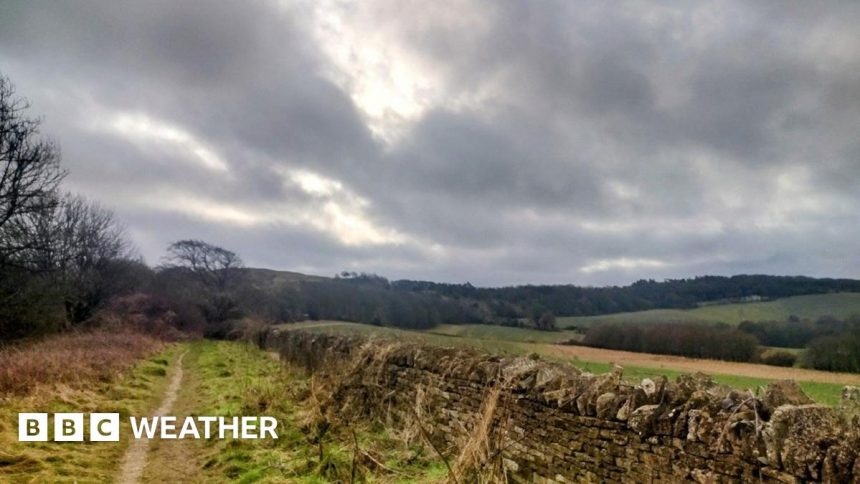
After the recent cold weather, it has finally turned milder across the UK.
Temperatures are expected to reach 17C on Friday afternoon in eastern areas of England.
However, while these might be more typical of those on a spring day, they will be accompanied by wet and windy conditions.
Yellow severe weather warnings for wind and rain have been issued by the Met Office for Friday and Sunday.

Met Office yellow weather warnings for wind and rain on Friday
Temperatures over the last few mornings have been around 10C higher than Wednesday morning and most of us would have noticed the milder feel.
Maximum temperatures are expected to reach 13 to 17C on Friday, more typical of a late April than February.
While that will feel quite pleasant with a bit of sunshine expected at times, there will also be a lot of cloud, rain and strong winds.
On Friday, the Met Office has numerous yellow weather warnings for wind valid for west Wales, parts of Northern Ireland and south-west Scotland.
Gusts around the Irish Sea coasts could be up to 70mph (113km/h).
Therefore some travel disruption is possible, especially to Irish Sea ferry crossings.
The Met Office also warns there could be some short term loss of power due to the spell of strong and gusty southerly winds.
There are additional rain warnings for parts of Scotland from 06:00 to 18:00 GMT with 30-40mm of rain widely but up to 70mm over higher ground.
Localised flooding is possible with spray on roads making journey times longer.
Has recent weather been unusal?
The arrival of milder air to end the week has been particularly notable due to the cold conditions that most have us have experienced so far this month.
Compared with the Central England Temperature for the period 1991-2020, maximum temperatures this February have been roughly 1.7C lower than normal.
The chill has been exacerbated by the distinct lack of sunshine in most areas, with only northern Scotland enjoying more sunshine than normal.
There have been colder Februarys fairly recently though. Those in 2015, 2018 and 2021 were all colder at this stage in the month.
And if you are wondering whether the expected high on Friday of 17C is close to a February record, it still falls short of the 21.2C recorded at Kew Gardens on 26 February 2019.
Warnings for the weekend

Met Office yellow weather warnings for wind and rain on Sunday
Saturday will be a quieter weather day with some sunshine and despite temperatures coming down to 10 to 14C, it should still feel pleasant enough.
However, the weather turns wilder again for Sunday.
With a deep area of low pressure moving close to the UK, winds will strengthen with heavy rain spreading to all parts.
Met Office yellow warnings for wind and rain have been issued.
For Northern Ireland, a wind warning from 03:00 to 15:00 GMT suggests gusts of 50-60mph (80-96km/h).
For a larger area across Scotland and England, a yellow warning will be valid from 06:00 to 18:00 GMT.
Gusts of up to 70mph (113km/h) are possible in more exposed areas.
This could lead to some disruption, especially to travel.
Heavy rain will also bring the risk of some localised flooding with a separate yellow warning for rain in South Wales, south-west England and south-west Scotland.
-
-
Published1 day ago

-

-
-
Published29 July 2024
-